See my trip in a 3-minute nutshell!
Day 1: Flying to Sin City
In 2009 I decided to visit the state of Arizona. I had heard of the incredible expanse of the Grand Canyon and wanted to see it for myself. My two friends Steve and Jenny joined me on this adventure.
We flew out of the Philadelphia airport early in the morning. (What was worse was we knew the next two days were going to have very early mornings.) We arrived at Las Vegas International Airport, and as soon as you get there they try to get you to gamble. They had slot machines in the airport!

We didn’t stay long in Vegas. Flying into Vegas Airport is cheaper because they think you will gamble and spend money there. Our main goal was to use that as a hub. We grabbed a rental car and headed to Arizona. If you go to Arizona you’ll see the Arizona Welcome sign as soon as you pass the Hoover Dam.

*************************************************************
Day 2: Red Rock Balloon Adventures, Palatki, and Honanki ruins
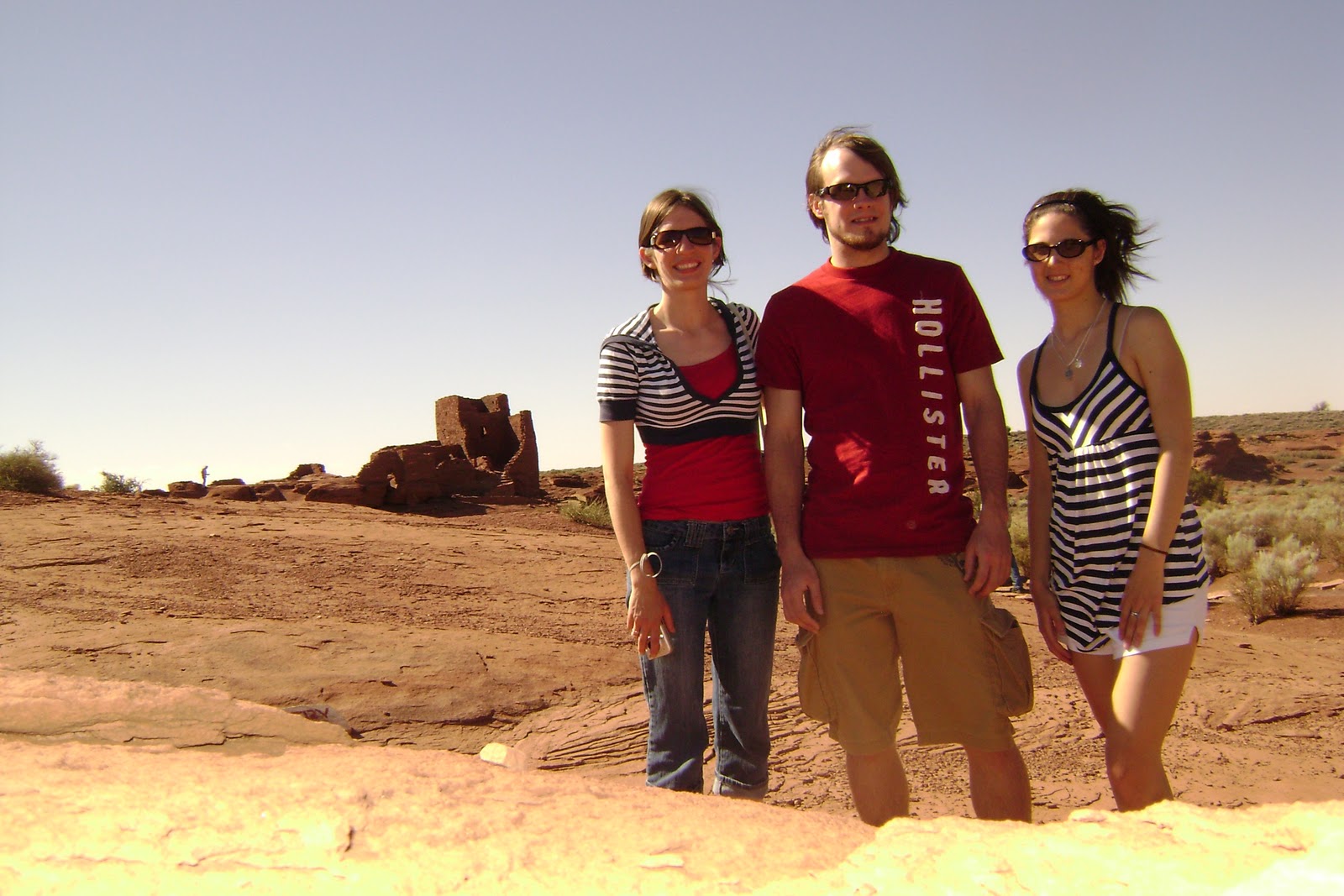
Like my Maine trip, the first day was mainly flying and driving. On day two we got up around 6 A.M. to be picked up by a shuttle from Red Rock Balloon Adventures from our Sedona Super 8 Hotel. It was so dark at that time that Jenny and Steve could not see the company name written on the shuttle. I had told them I had a surprise activity planned for them, which they paid for. However, as soon as we got on the bus we were asked to sign a waiver. Jenny looked so nervous because she was not sure what she was signing for. She just had to trust me. They drove us to a large empty field, where we watched them fill up the balloon. We learned some interesting facts from our balloon guide while flying and watching the sunrise over Sedona, Arizona.


This was my first balloon adventure. I was very surprised to find that when they release the air, it is very loud. When we were up in the air, it was so quiet and the ride was so smooth. It was very peaceful, but as soon as the burner lever is pulled to produce the hot air, your eardrums feel like they are being scorched by sound. Check out our balloon ride!
As dry as the desert is, there is a suprising amount of shrubbery and trees covering the ground. At least I found this was so in the Sedona area.

When we landed and had time to mosey around the middle of the desert we came across the skull of a wild bovine.

When you are driving in Arizona on the open roads you feel you should sing, “On the road again” all the time. Jenny, in fact, put together quite a playlist for our Western adventure with hits such as “Highway to the Danger Zone,” “Route 66,” “Home on the Range,” and more.

Arizona’s temperatures are pretty hot, so we decided not to rent any black vehicles. We went with the Orange Dodge Caliber seen below, and it turned out to be a great choice. It did well on gas and had a fair amount of space for our 10-day driving needs. Because we were traveling so much we had to take our luggage with us as we traveled from one spot to another in Arizona.

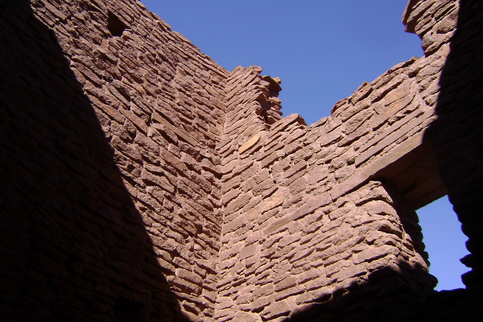
Our second stop was to the Palatki and Honanki ruins. These sites are both located in the Coconino National Forest. According to the federal U.S. site of the Palatki and Honanki ruins it says, ” Palatki and it’s sister site, Honanki were the largest cliff dwellings of the Red Rock country between A.D.1150 – 1300. They were first described by Dr. Jesse Walter Fewkes, famous turn-of-the century archaeologist from the Smithsonian Institution, who gave them the Hopi names of Honanki (Bear House) and Palatki (Red House). The Hopi, however, have no specific names for these sites.”

When you first arrive at the ruins and walk up the one trail you will find yourself being immersed in history about pictographs (cave symbols).

The other trail leads you up to the Sinagua cliff dwellings.

When heading to the sister site Honanki you are given a little bit of a break with some shade on the way to the site.

The Honanki ruins below were a bit less intact. Most of the dwellings were created under overhangs, to protect its inhabitants from the wind, rain, and other natural weather conditions.

After that we headed to the famous Catholic church named Chapel of the Holy Cross. It was constructed in 1956, 24 years after Marguerite Bruswig Staude first observed the Empire State Building in NYC in 1932. She first got the concept after seeing the Empire State Building from a certain angle. She seemed to see an image of a cross through the core of the structure. She wanted to construct a building that would glorify her creator, in thanksgiving for all that her family received. She traveled through Europe looking for an ideal location, but didn’t find anywhere that suited her. She returned to the US, and while she and her husband traveled through Sedona she was struck by the beauty of the area and decided the chapel should be built there. She said, “This would be a monument to faith, but a spiritual fortress so charged with God, that it spurs man’s spirit godward”.
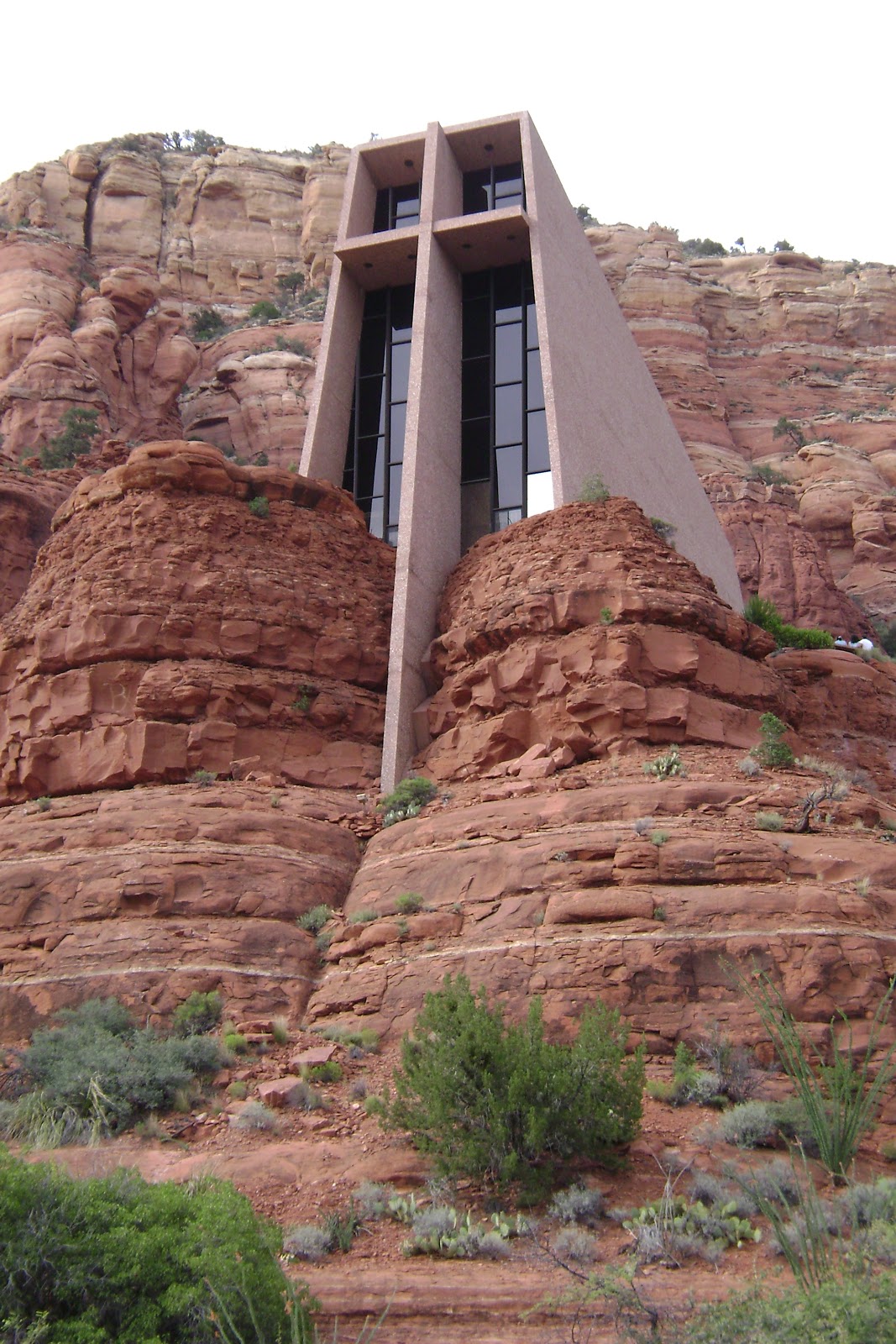
What is amazing about this structure is its height. It juts out of a thousand foot rock wall 250 feet high. Built on twin pinnacles, it is said to be “solid as the Rock of Peter.”
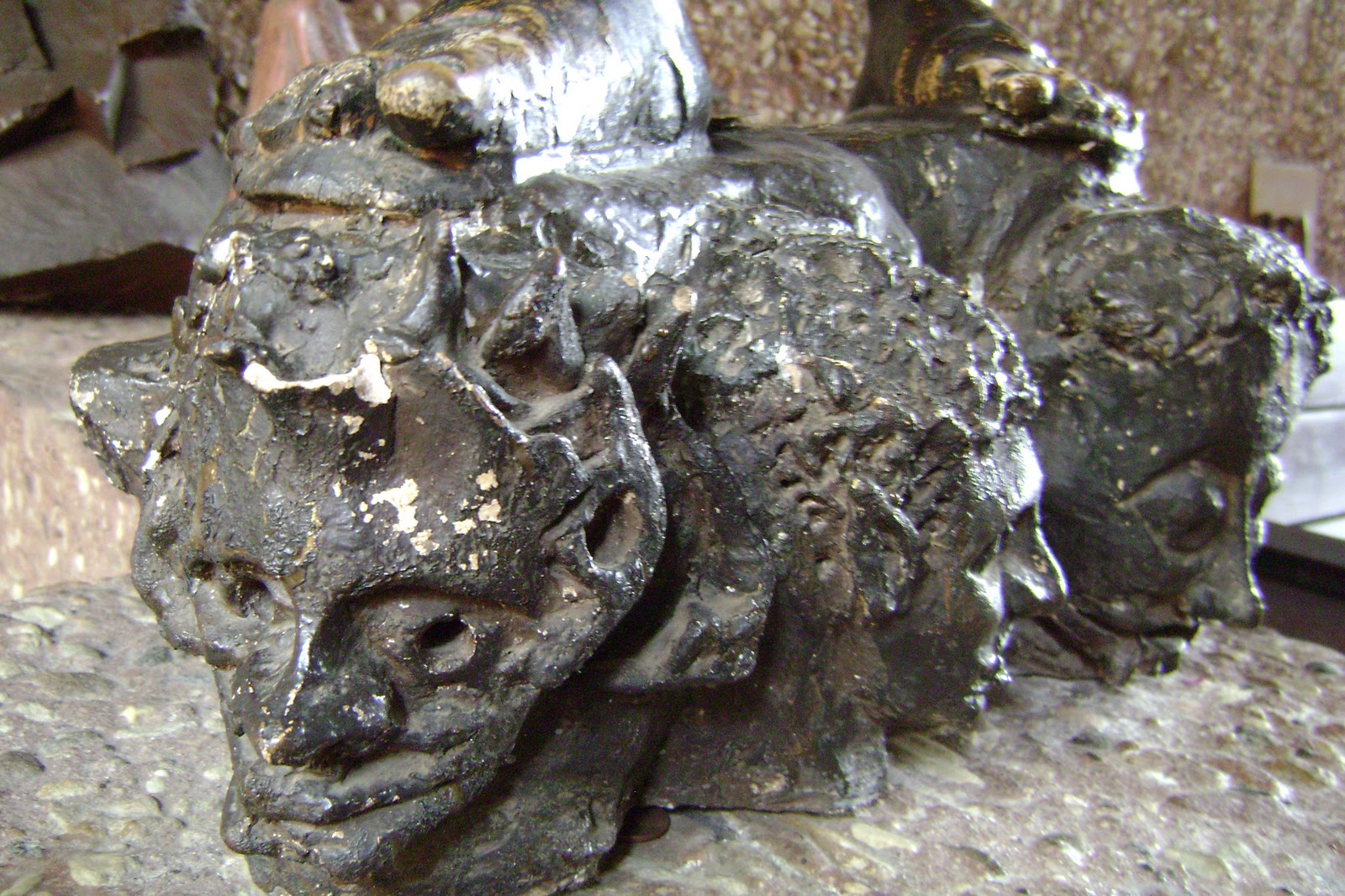
If you get the chance you should go see some of the sculptures. There is a 17th Century hand carved, painted, and gilded sculpture from Mexico of the Archangel Michael.


(Head of Christ in granite from Cathedral in Chartres, France)
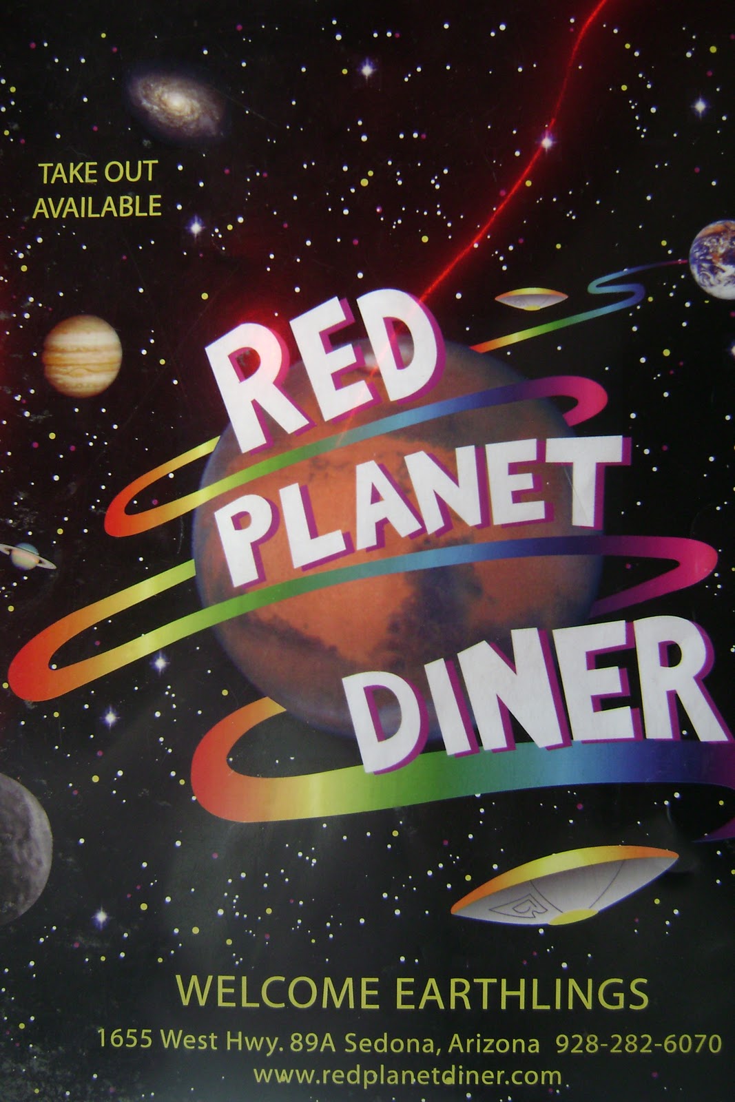
After a long day in the sun we stopped on our way home at a fun and unique restaurant. It was called the Red Planet Diner. Both exterrestials and earthlings are welcome!


*********************************************************
Day 3: Slide Rock State Park
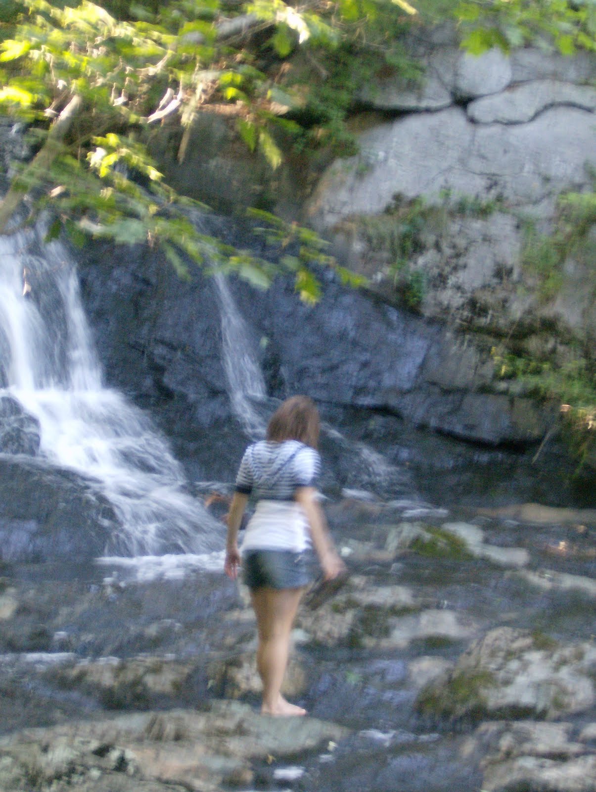
If you want a real nice fun-in-the-sun day you should check out Slide Rock State Park. It is named after its natural water chutes of large slippery creek rock. There are also two places you can jump off into a deep area of creek, but anyone should know there are risks when cliff jumping. It is a fun place to hang with both friends and with family.

Slide Rock State Park was originally the Pendley Homestead, a 43-acre apple farm located in Oak Creek Canyon. Frank Pedley arrived in 1907 and had acquired land through the Homestead Act in 1910. He established an irrigation system that is still used by the park today. The park was purchased on July 10, 1985 by the Arizona State Parks from the Arizona Parklands Foundation. The park was dedicated in October 1987, and accepted onto the National Register of Historic Places in December of 1991.
*************************************************************
Day 4: Walnut Canyon National Monument
Our fourth day we went to Walnut Canyon National Monument. It was established by President Woodrow Wilson on November 30, 1915 to preserve the ancient cliff dwllings. It was initially managed by the US Forest service but management was transferred to the National Park Service in 1934. There are approximately 3,600 acres to the park. The park includes a very nice museum and trail.

One thing I enjoyed doing was yelling “Echo” through the canyon. After I did that, disturbing the peace and quiet, my friends and others around were so amused that “Echoes” insued throughout the canyon for about five minutes from various locations.
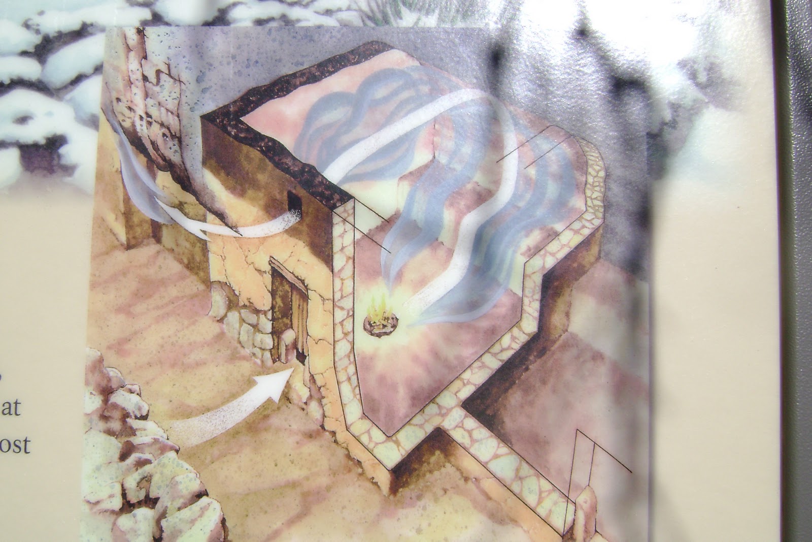
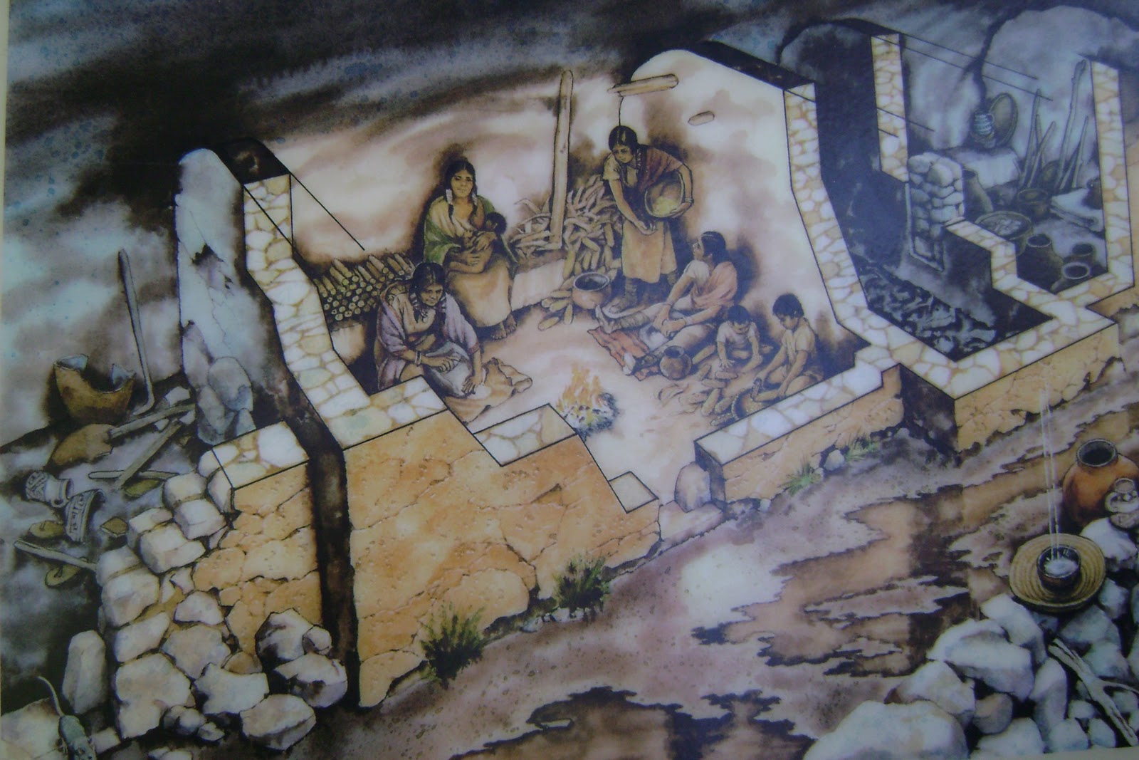
Inside the museum you will find various historical diagrams and interpretations made by archaeologists who studied the remains.

(model of a typical cliff hut)

Here is Jenny in front of a typical intact wall of a cliff dwelling.

Here I am squatting in a ruin of a typical cliff dwelling.

Here is a diagram of the inside of a dwelling.
The Walnut Canyon Island Trail is a one-mile roundtrip loop, where you will see 25 cliff dwelling rooms along the way. The trail is really clean and keeps your interest by providing short and concise signs next to all the neat plant life along the trail.


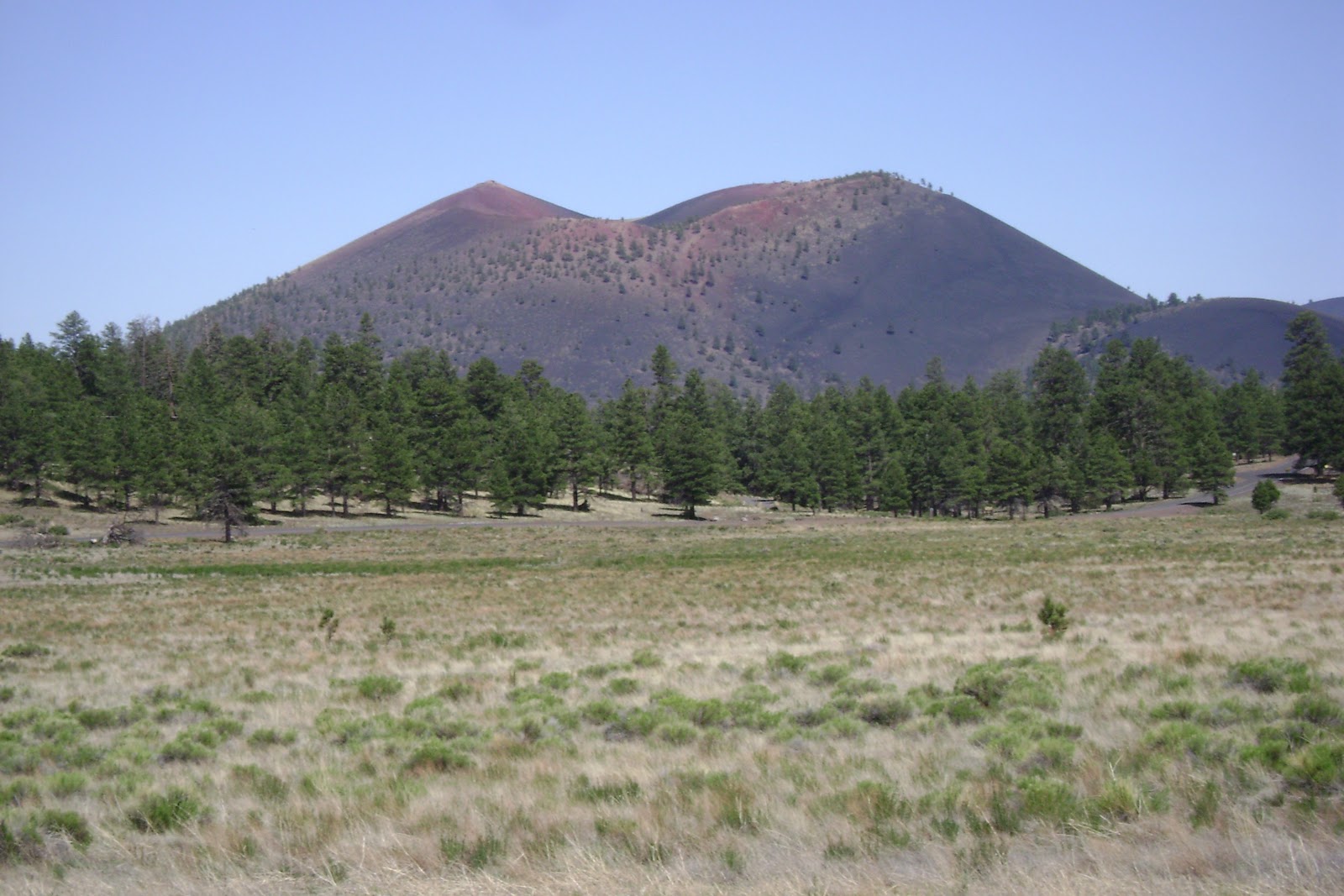
After we spent a nice morning at Walnut Canyon we headed to Sunset Crater. This volcano was born in a series of eruptions sometime between 1040 and 1100. The park was established by President Herbert Hoover on May 26, 1930 to protect its geologic formations. It occupies 3,040 acres surrounded by Coconino National Forest. It is a great spot for pictures. It is so scenic that all our pictures looks like postcards.
Yes, I really did take this picture!!!!
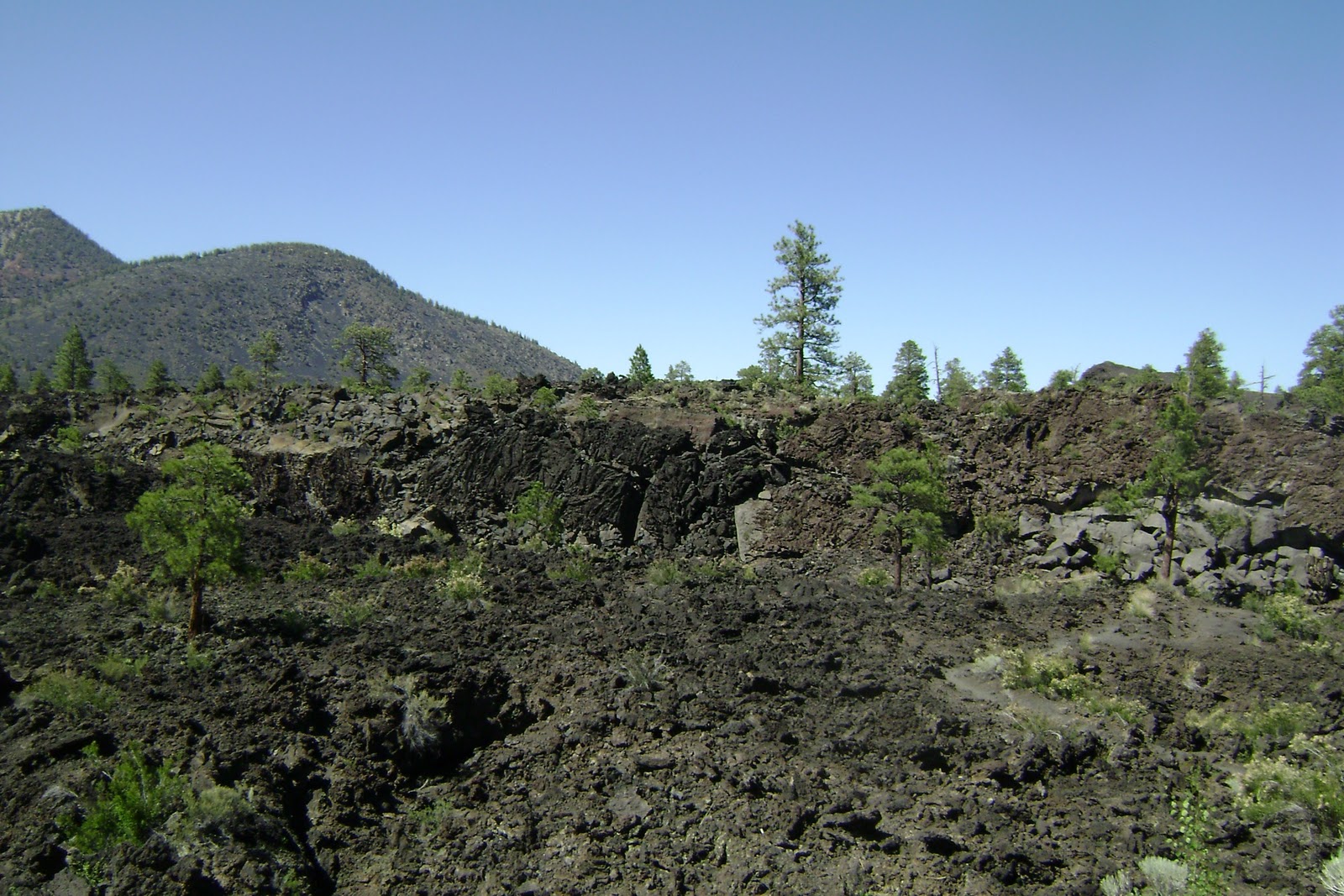
There are also many remnants of lava rocks in the area.
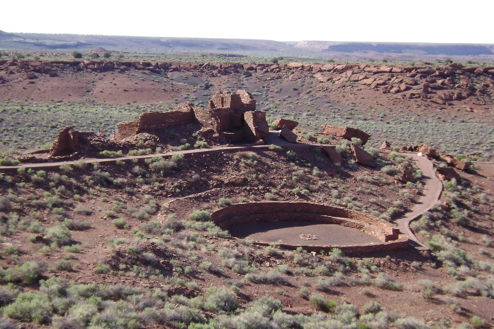
In the latter part of our day, our last stop was the ruins at Wupatki National Monument. Less than 800 years ago, Wupatki Pueblo was the largest pueblo around. It flourished for a time as a meeting place of different cultures. The mystery is why and how did the people live here. This was one of the warmest and driest areas on the Colorado Plateau that offered little water, food, and comfort to those who lived here. (If you have any clues, please contact the national park service. Haha!)
Wupatki National Monument was established by President Calvin Coolidge on December 9, 1924 to preserve the Citadel and Wupatki pueblos. Monument boundaries have been adjusted several times since then, and now include additional pueblos and other archeological resources on a total of 35,422 acres.
**************************************************************
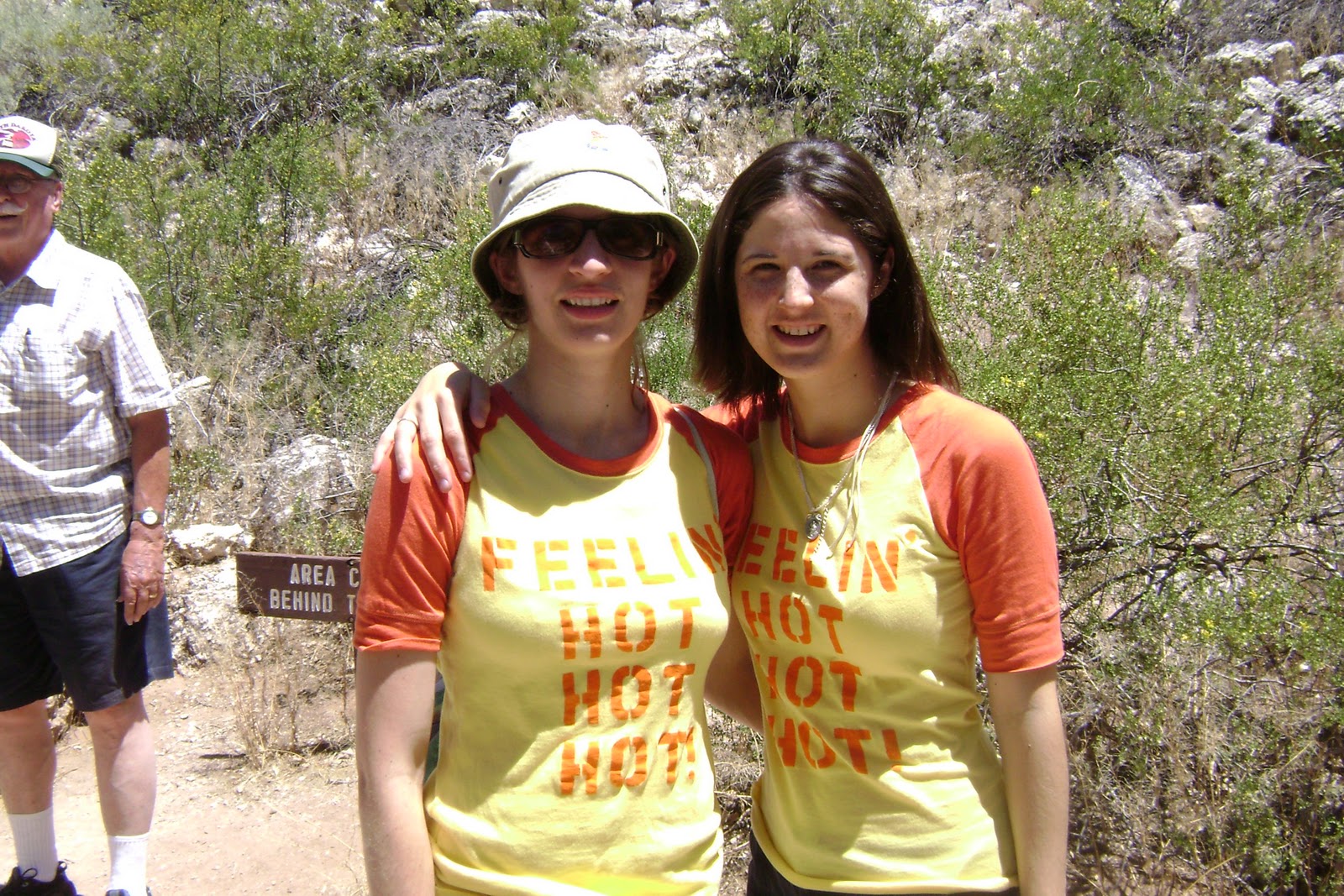
Day 4: Feeling Hot Hot Hot! in the Arizona Desert
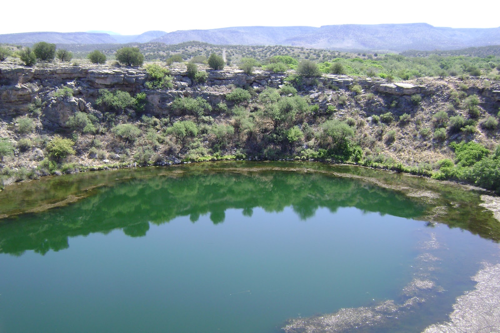
On our fourth day, we visited Montezuma Well and Montezuma Castle.
Montezuma Well, a unit of Montezuma Castle, is 11 miles from its sister site. It is home to species of animals found nowhere else on the planet according to the National Park Service’s website. The well is a 1,000 year old irrigation ditch that still in use by local residents today.
The Montezuma Castle National Monument is considered one of the best preserved cliff dwellings in North America. This 20 room high-rise-like apartment is nestled into a towering limestone cliff. In my naitivity I thought we would actually get to climb up and into the ruins, however, this area is off-limits to the public now.

And YES! I made sure to make my cheesy trip t-shirts again…relative to our AZ trip!
**************************************************************
Day 5: Home, Home on the Range….
When I was reading material on the Grand Canyon and Arizona through AAA books and similiar materials, I found that there were mule rides down into the canyon. I really wanted to go on one, however, they were usually 2-3 day trips, and we could not spare the time or money. Although I realized I might not be able to attend one of those outings, I found that if you go into hotels or places they have brochures listing fairly interesting and inexpensive outing alternatives. We settled on a horseback ride through the Coconino National Forest. It was very beautiful and serene.

And Jenny didn’t even fall off her horse!! 🙂
**************************************************************
Day 6: The Grand Canyon
And GRAND it is…..! This was the main goal of our trip, to see the Grand Canyon. When you get there, no matter what angle you are viewing it from, the Grand Canyon is expansive.

I think I really enjoyed seeing how the clouds cast shadows and moved through the depths of the canyon. The canyon is so deep and so wide that it seems to go on for miles…. as far as the eye can see.
Interesting things we ended up seeing were…
unique-shaped trees

and Elk.

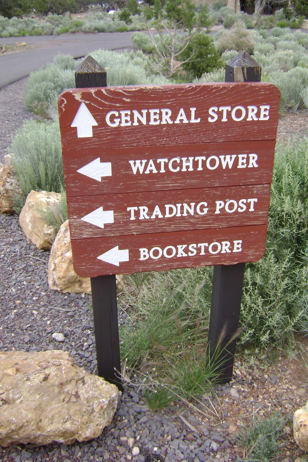
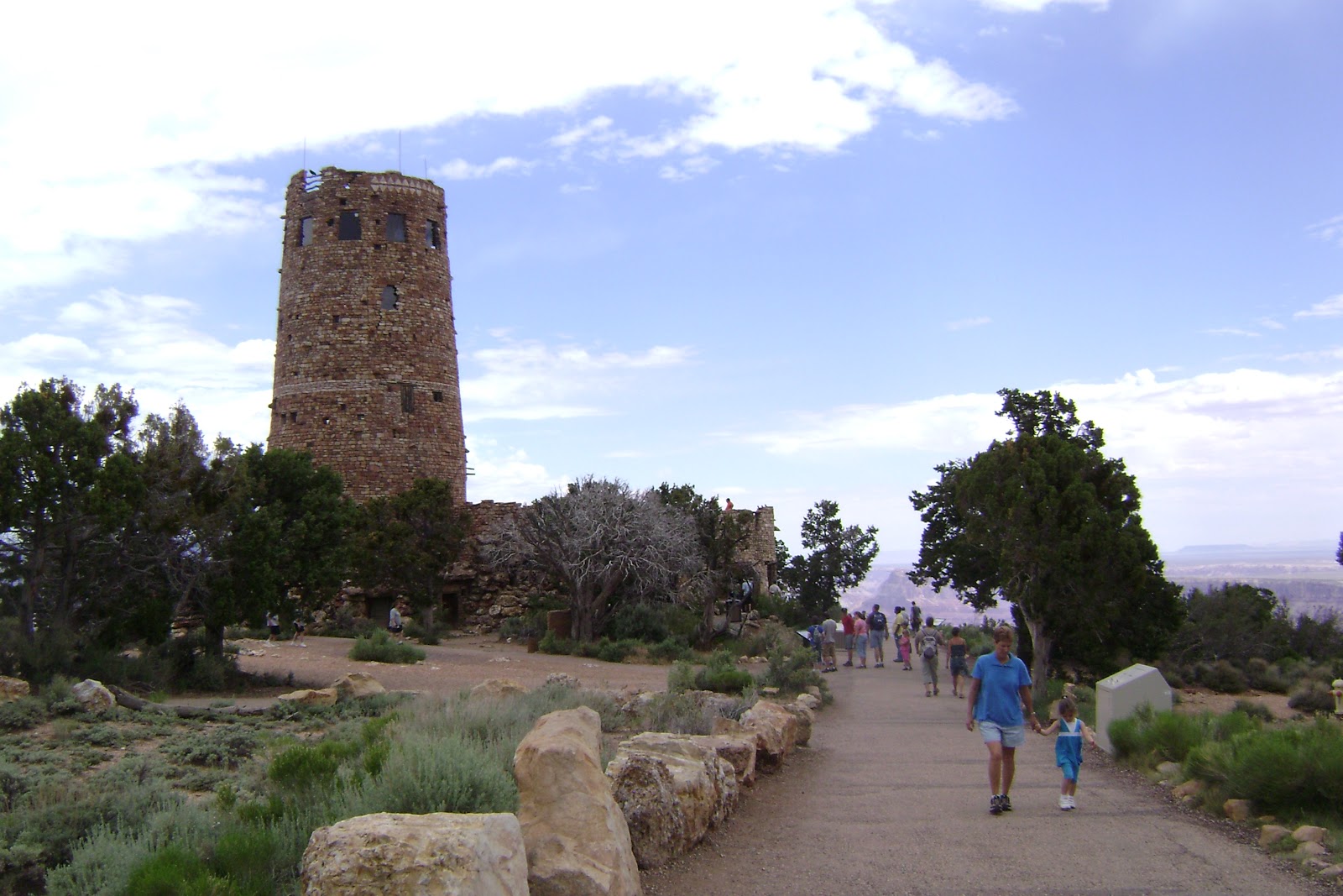
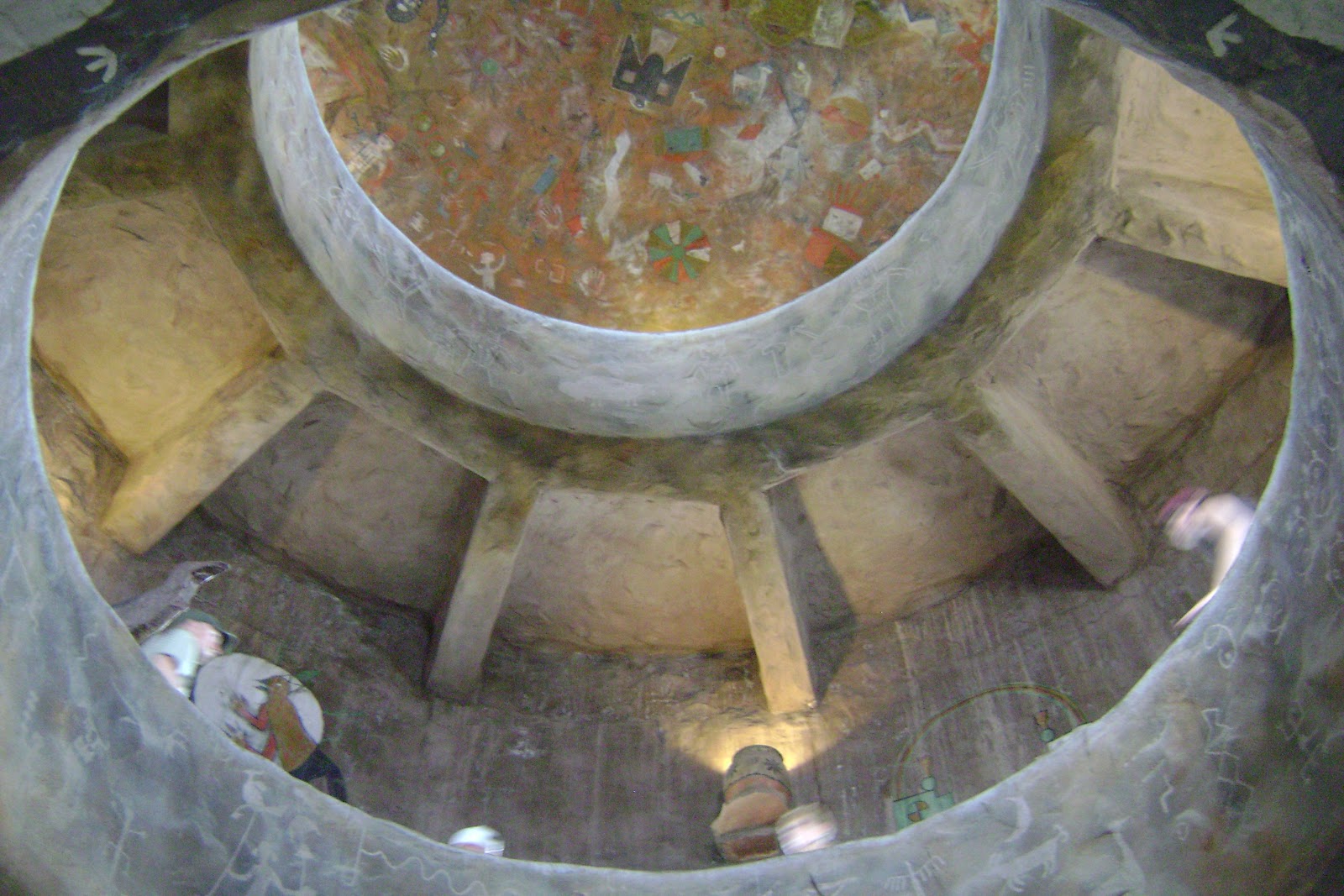
After we saw a bit of the Grand Canyon from the side of the road, we headed to the Desert View Watchtower. The day was a little bit windy and wet, so we were not allowed to go the whole way up. The bottom floor has a nice gift store and the architectural design of the building is fascinating. The architect even had fun painting pictographs. I’ve read that if you are able to climb to the top of the tower, the height allows one to see a better view of the Colorado river and the Painted Desert.
Click here to read more about the Watchtower from the official NPS site.
While we were near the Grand Canyon, we also checked out the U.S. Historic Route 66 road. It has lots of fun small stores in the little towns it goes through. If you are going out that far you should check out this road. It is famous for being one of the original U.S. Highways. It was established on Nov. 11, 1926. It originally ran from Chicago, Illinois, through Missouri, Kansas, Oklahoma, Texas, New Mexico, Arizona, and California covering a total of about 2,448 miles (3,940 km).

If you have traveled route 66 and would be good with a quiz, take it here!
To check out the famous route 66 song by Bobby Troup and performed by the Nat King Col Trio in 1946, click here! The more modern version: here!
**************************************************************
Day 7: The real Grand Canyon experience!
If you get the chance to have a real grand canyon experience, I would recommend either spending it on a trail ride down into the canyon or a rafting trip. Again, because our time was limited I wanted to find a rafting trip that was only a day. Most that I looked for, were too long. However, I did find a white water rafting trip for a one-day trip through the Hualapai River Runners. It was a great trip. We took a bus ride from the lodge into the canyon.

Then we boarded the rafts and took a 2-3 hour water raft ride down the Colorado river.

We hit several big rapids.

And we got to have a Indiana Jones-like adventure climbing up to a waterfall.


And definitely had lots of camera opportunities!

To make it a one-day trip they needed a fast way to get us out of the canyon and back to a bus on time. They picked us up in the canyon and flew us by helicopter to the the buses, which were further from the canyon and closer to the lodge. This was my first helicopter experience. It was sort of scary. You literally feel like you are in a bubble that is rising up and down. You don’t really see the propellers, so you feel a little uneasy, but there is a wide open view from the helicopter front windshield.

**************************************************************
8th Day: Driving and Staying over in Las Vegas
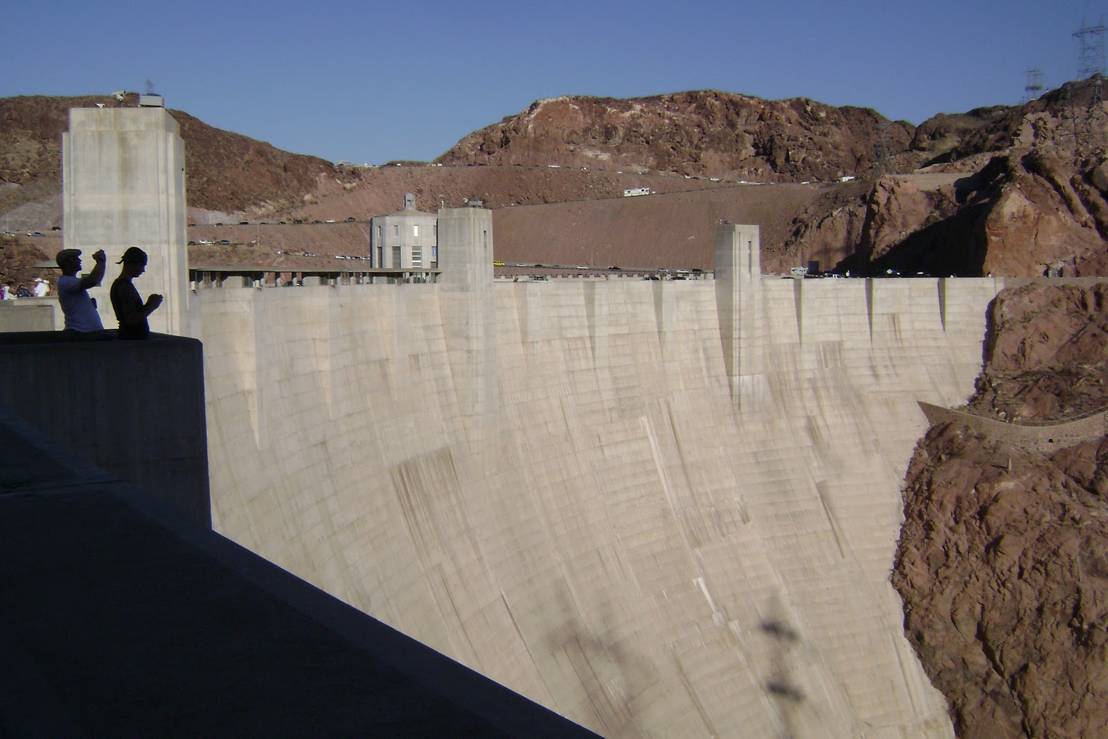
Since we were heading from Arizona to Las Vegas, we decided to take a stop to see the famous Hoover Dam.

And you’ll never guess what I did? I conquered the most incredibly difficult physical, chemical, and molecular problem of all time. I am in two time zones and states at one time.

Some people are fans of Las Vegas, others are not. I think there are good things about Las Vegas and bad things about Las Vegas. I do not recommend taking kids to Las Vegas. I don’t think it is a family-oriented place or a child-oriented place.
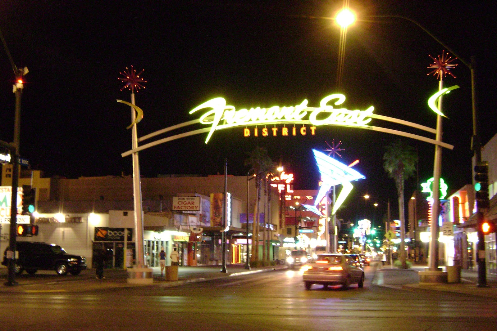
Las Vegas is definitely the “Sin City” in a lot of ways. I was apalled by graphic signs and handouts which were baseball card size offering up women in different ways for an evening of “fun.” The bright lights, music, and signs encouraged gambling, drinking, and letting go of one’s inhibitions. I wasn’t fond of the type of people this city attracts.

On the positive side, the lighting displays and the decorative themes were great. Some of the hotels offered free shows. My friends and I had fun just walking into the different hotels and seeing their unique themes and admiring the atmosphere.
There is a bus that you can take down the Vegas strip all day/evening for a reasonable price. If you are going to walk around and try to go in for a bunch of free shows, you will find that this bus proves worthwhile when your time is limited, or you are tired of walking. Sometimes it ran late and took awhile because it stopped at every couple of blocks.
Here are some of the hotels we enjoyed stopping to check out:
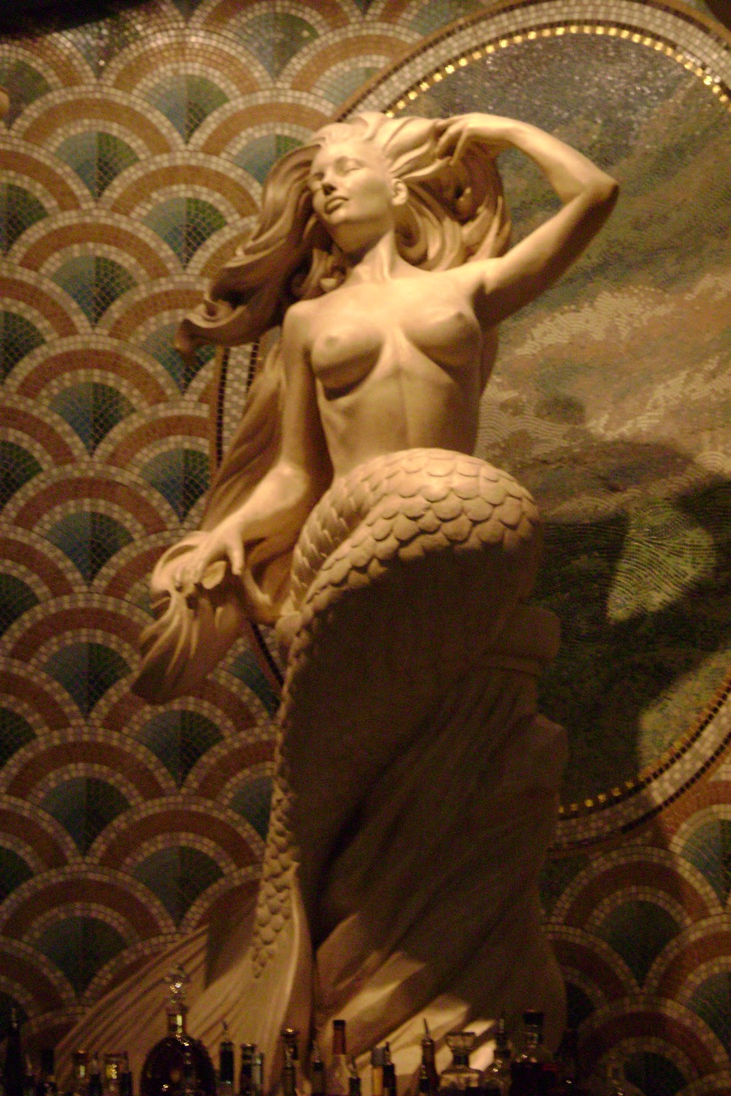
Caesar’s Palace

Circus Circus

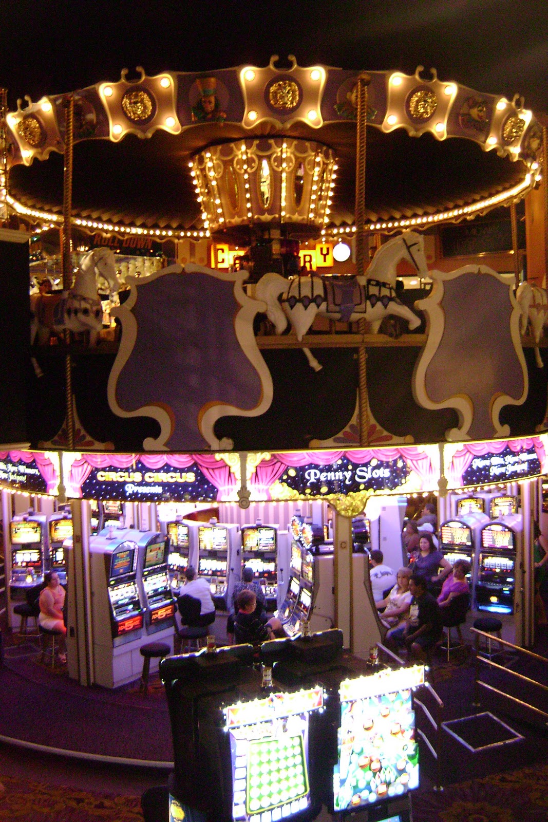
Our favorite free show was a solo acrobatic performance in Circus Circus.
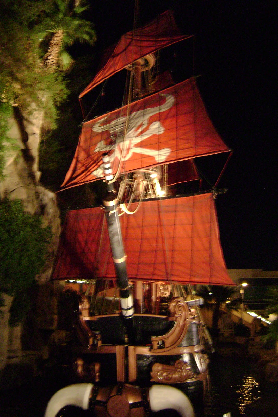
Treasure Island

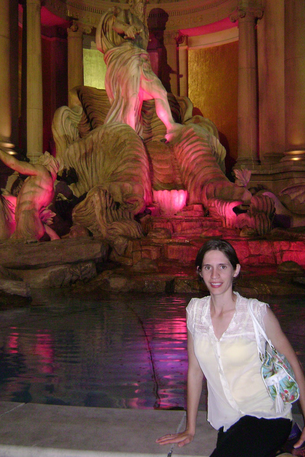
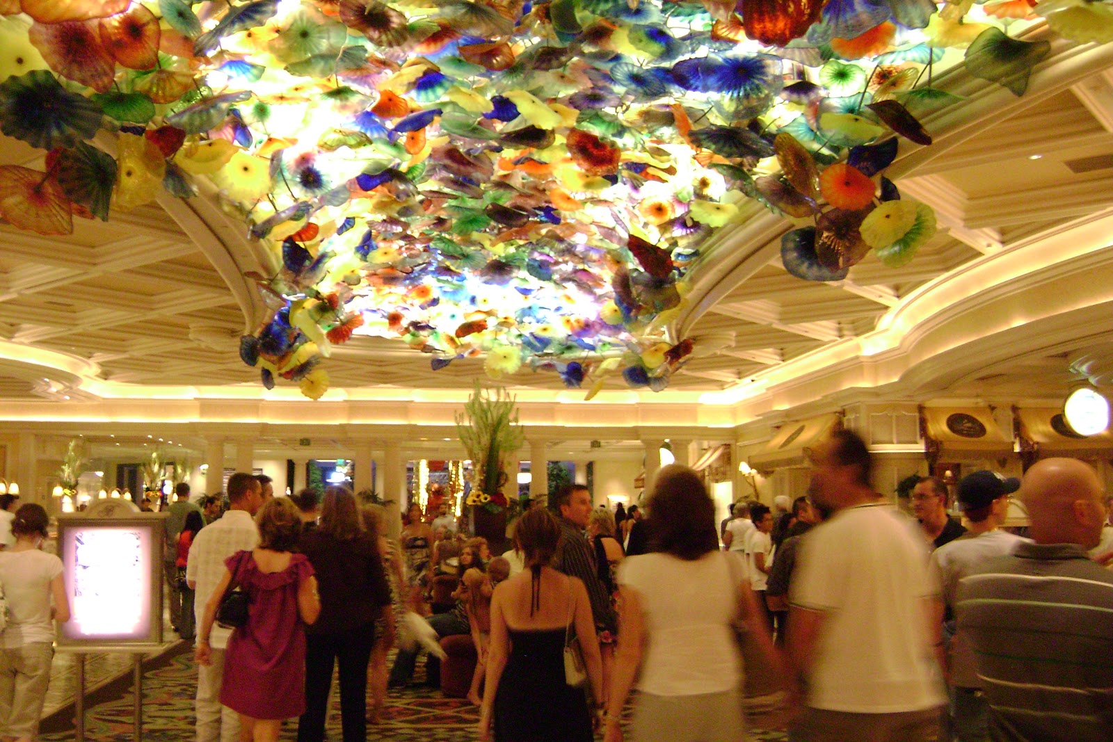
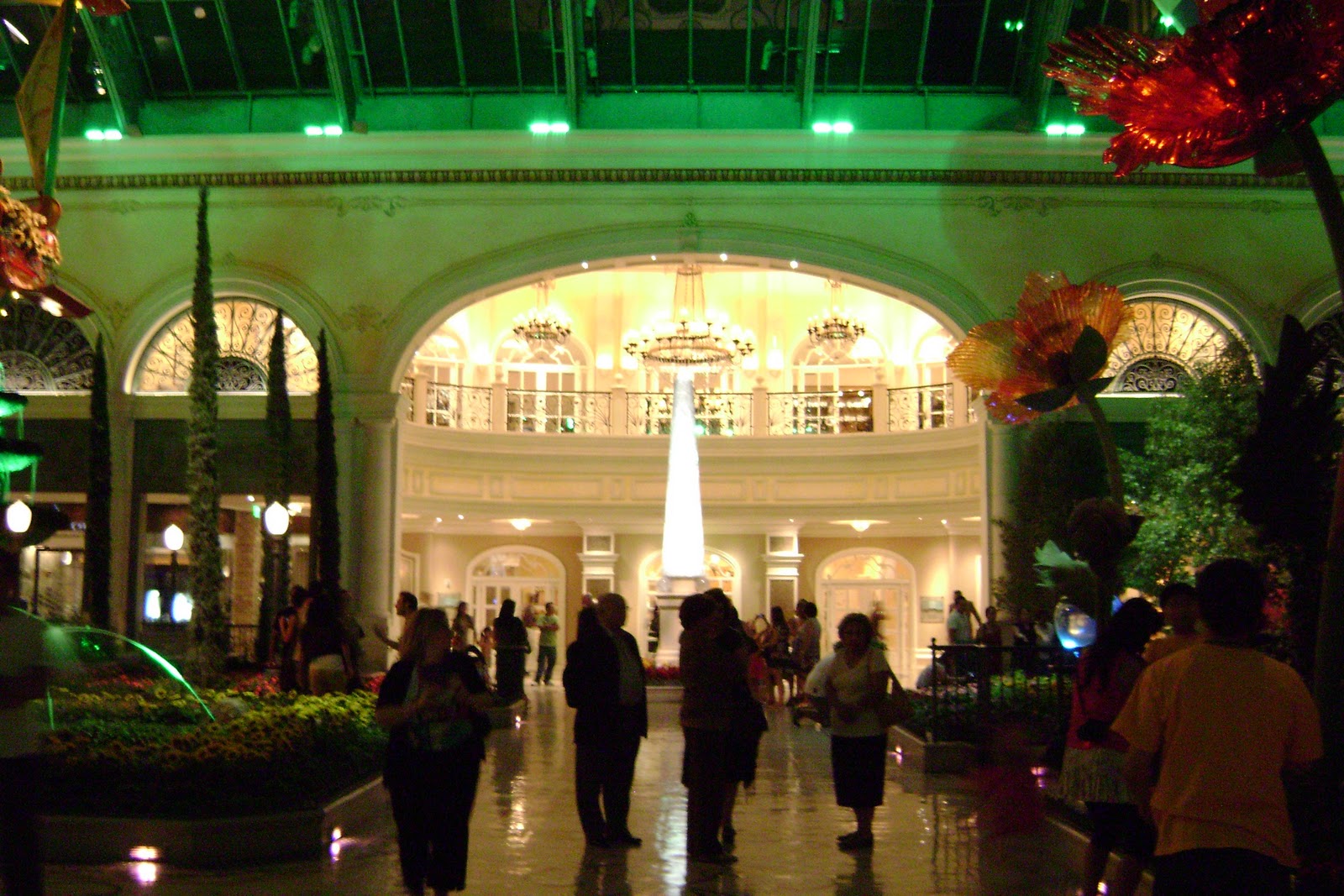
The Bellagio


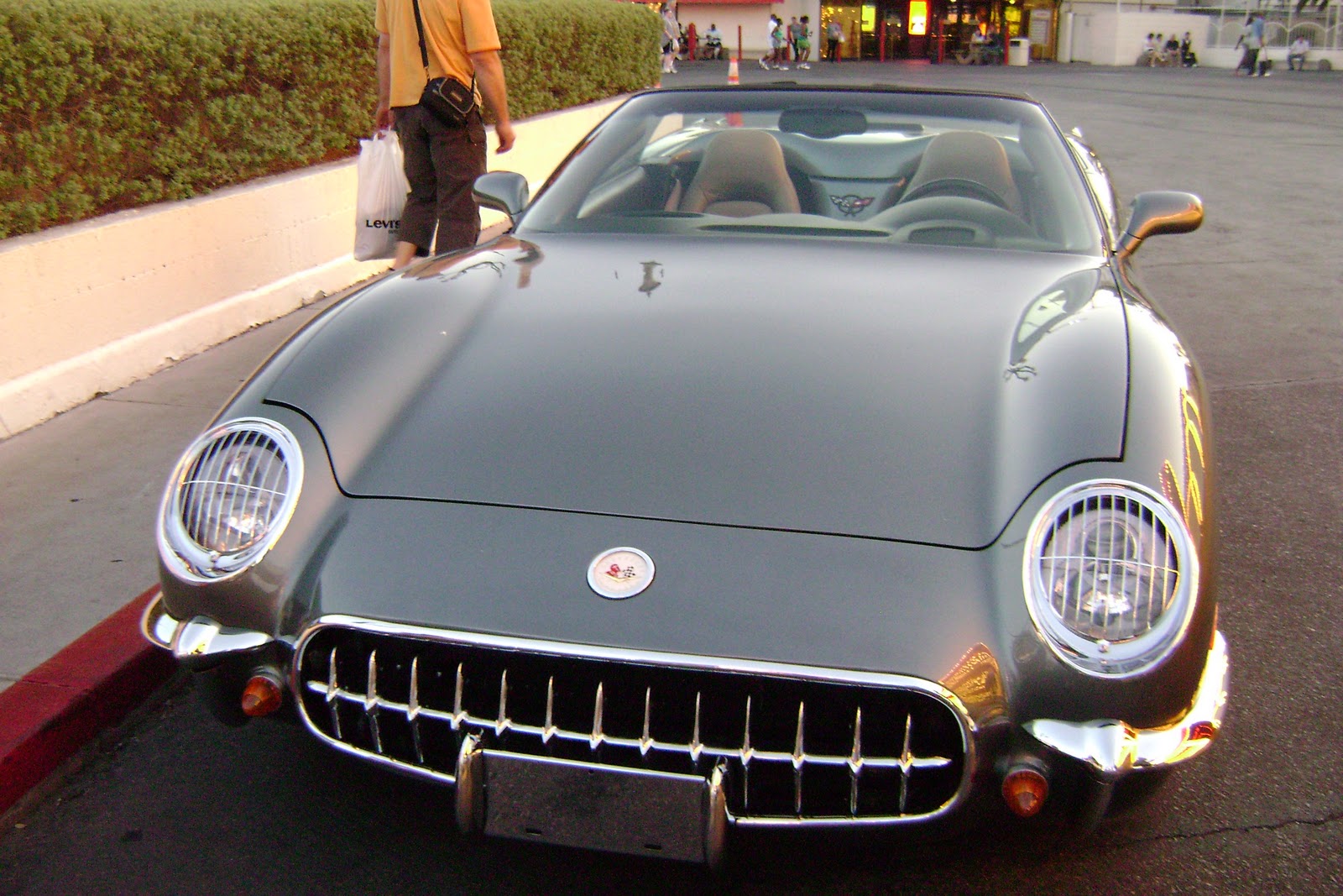
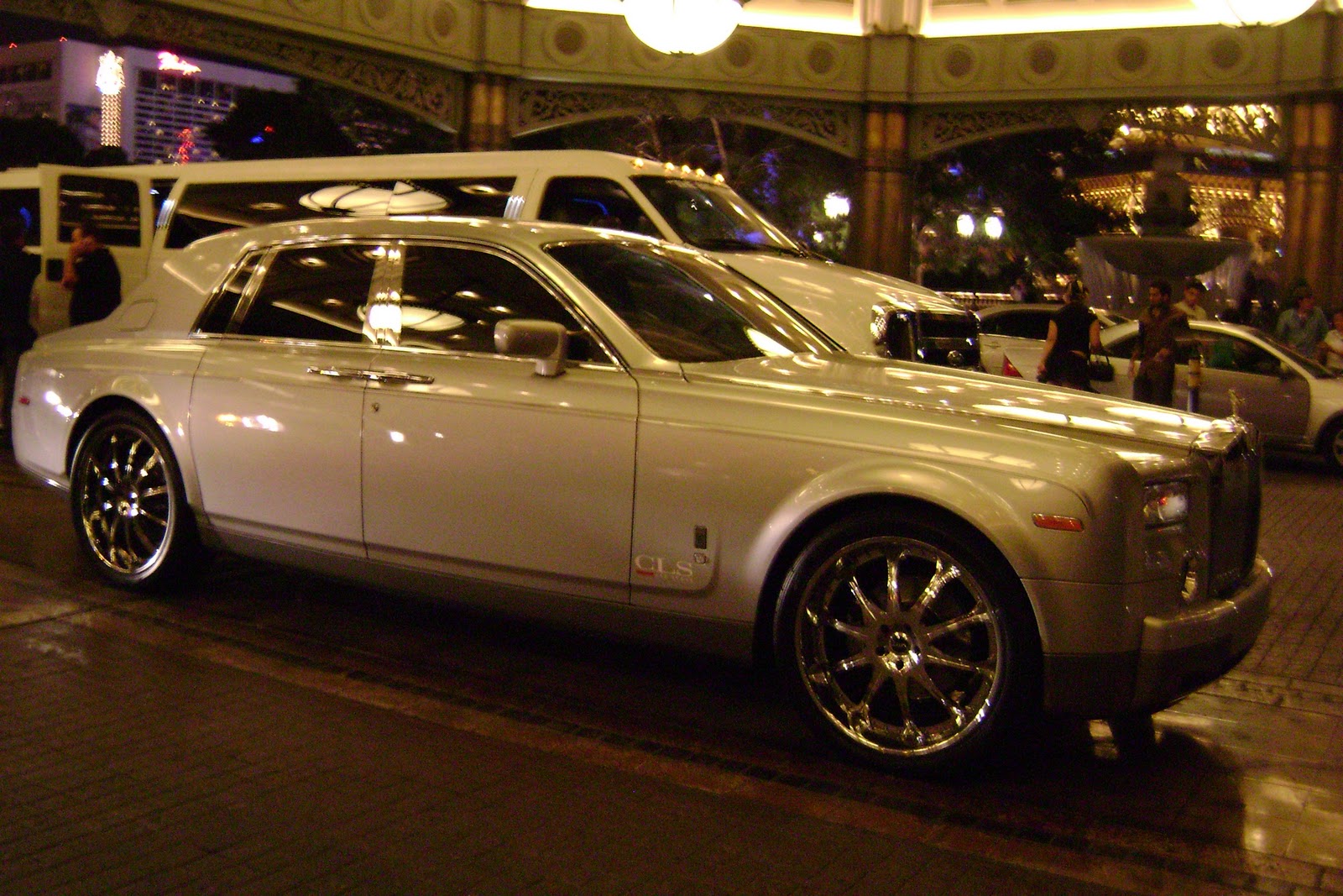
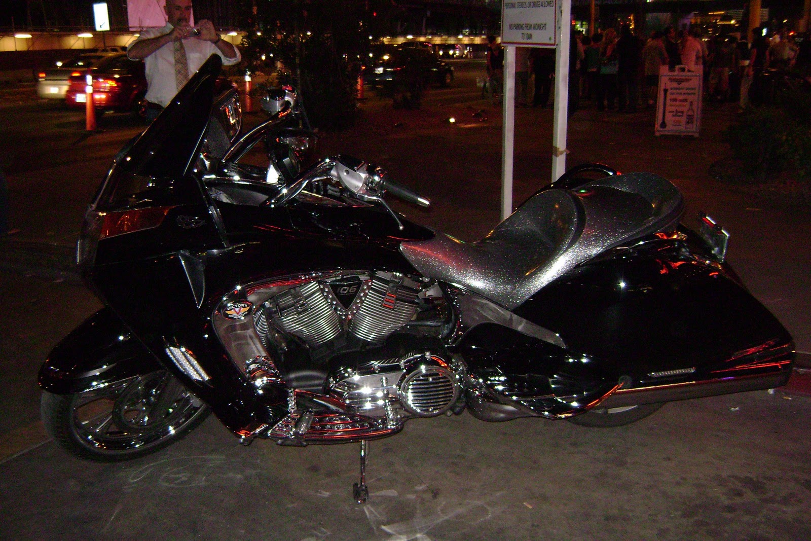
We also enjoyed seeing the fancy cars people drive in Vegas.
Do you think I could have a ride????
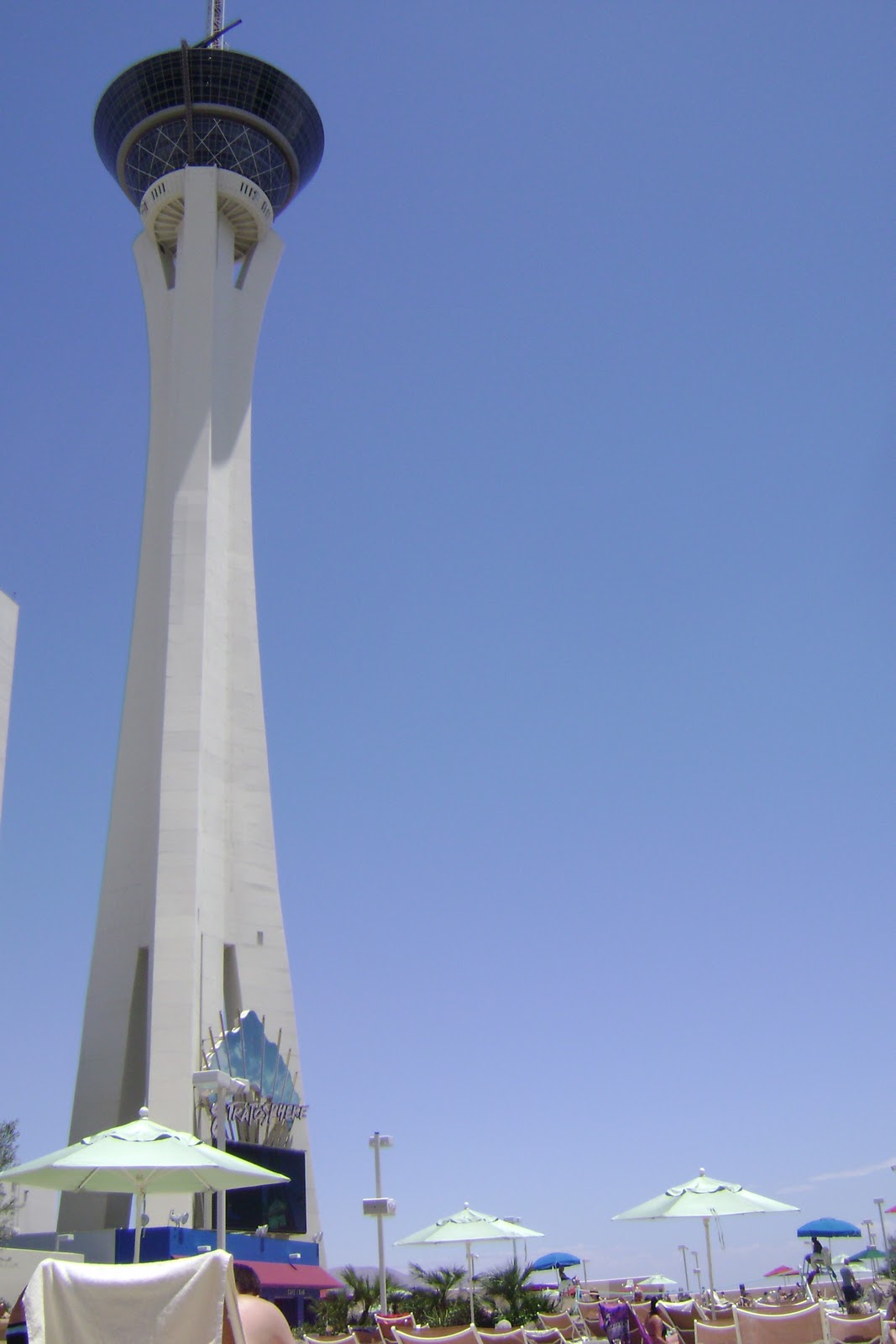
The hotel we stayed at was the Stratosphere. There are many hotels in Vegas, and if you book in advance there are special deals where you can can get a fancy hotel stay for pretty cheap. Our deal gave us the first night for $29.00, and the second was $59.00. Splitting it between 3 people became very reasonable!! 🙂
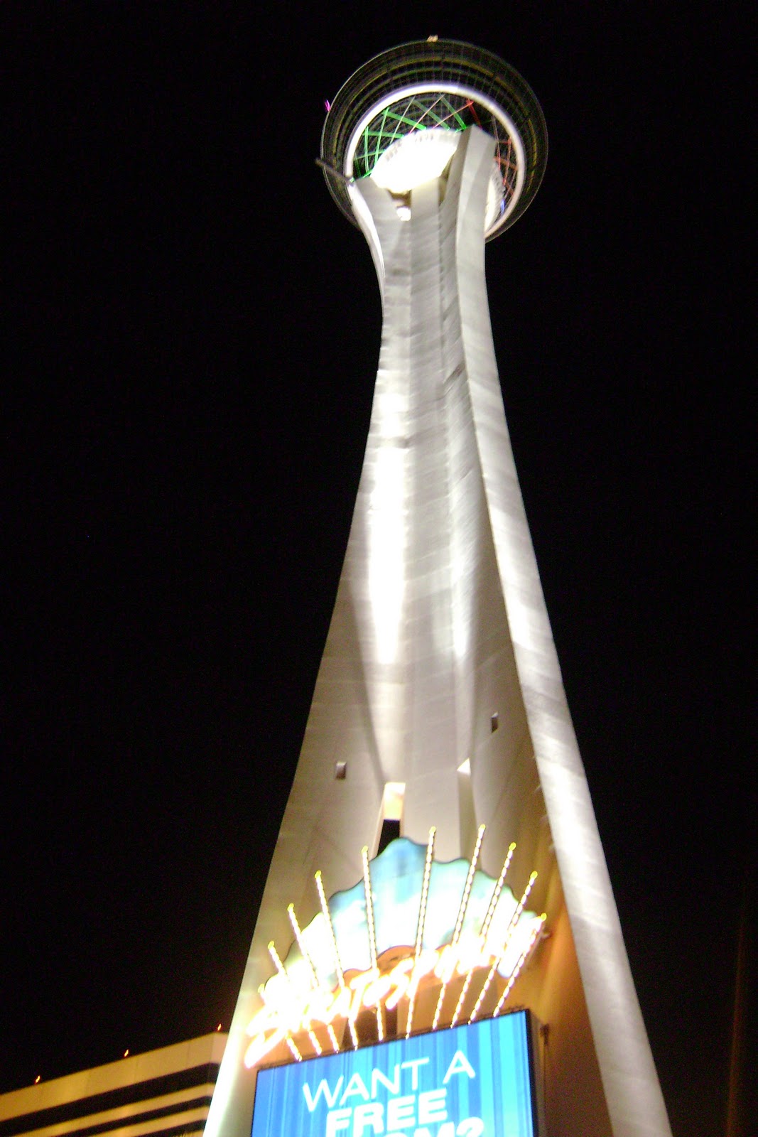
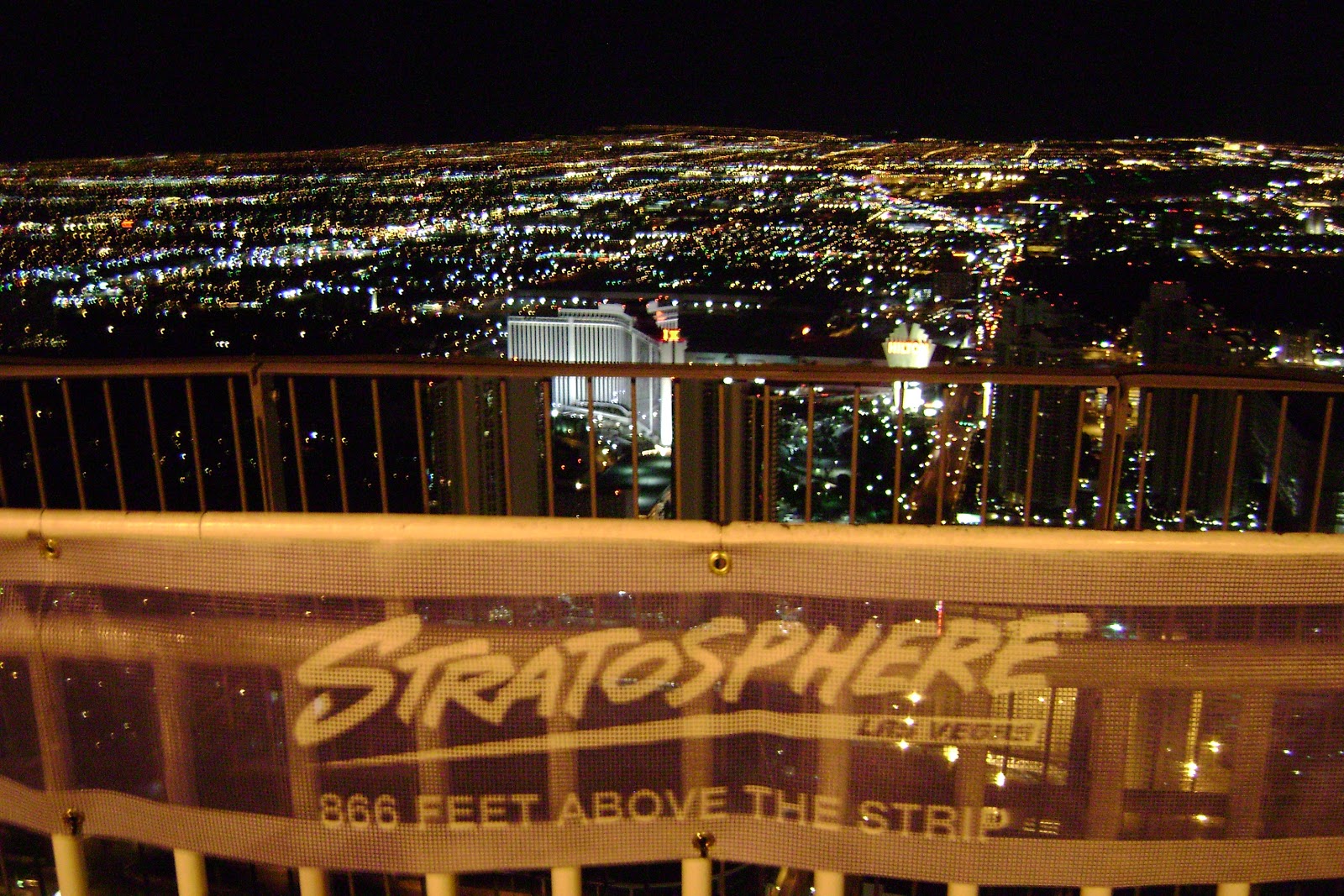
Our hotel was one of the highest points in Vegas, so the evening view of the city was pretty neat.
To top the evening off, we decided to hit up a Henna Tattoo parlor to fake out our parents…. We planned to tell them that we got tattoos while we were in Vegas. (Would have been believable, right? ) I don’t think it worked so well because they didn’t come out as good as we thought they would, and by the time we got home they had faded a little bit. However, we did have fun and a laugh at the thought.


**************************************************************
9th Day: R&R (Rest & Relaxation)
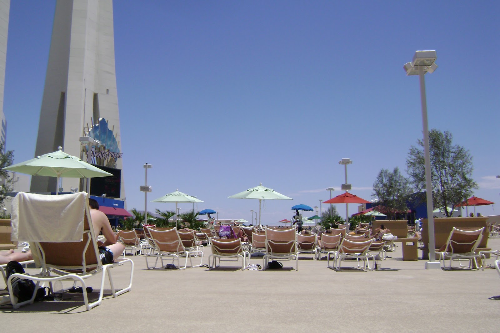
Our last day we didn’t want to go too far from the hotel because we had to get to the airport on time, so we spent some time at the hotel pool on the 9th floor.
Overall, Jenny, Steve, and I thoroughly enjoyed our trip out west to Arizona. We learned about the local native cultures in Arizona, the weather, and got a good feel for what makes Arizona one of our beautiful American states.
THE END
OF STATE #3: ARIZONA